
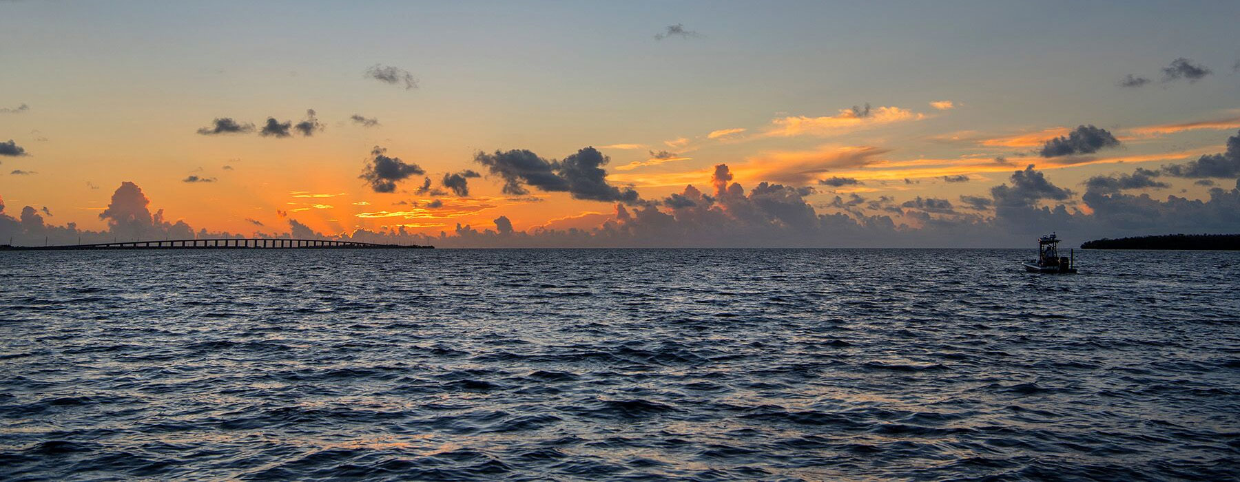
25 Oct Key West Area Update
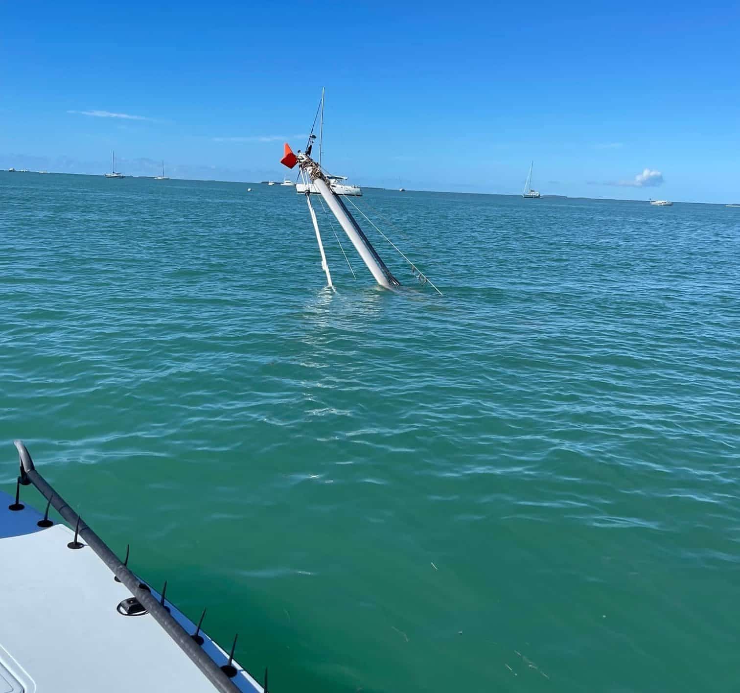
We have come across a few dangerous obstacles in the Key West area apparently caused by the passing of IAN. Each of these will be clearly represented on the SFL charts and updates that are sold starting Nov. 1.
If you want to mark these obstacles on your GPS immediately, the images and coordinates are shown below. 1) There is a huge vertical tree trunk at the surface in Jewfish Basin 2) a sunk sailboat near key west harbor with an exposed mast, and 3) another larger wreck near the KW middle grounds that is a hazard at the water surface but no longer exposed.