
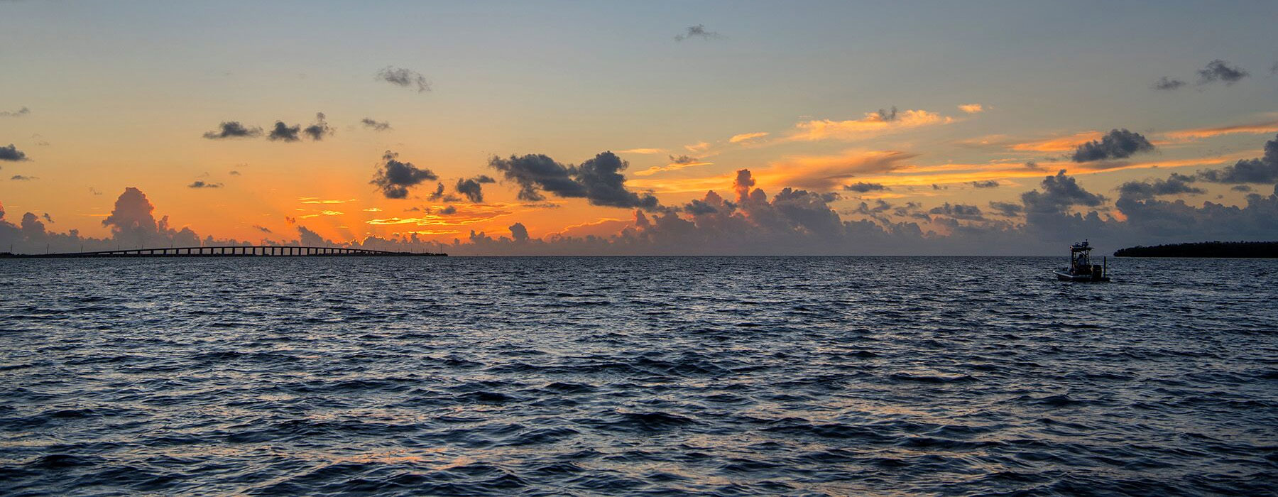
10 Oct Post Hurricane Ian Update
ISLA updates post IAN
We have received some calls and correspondence regarding the timing of available chart updates after the storm. It will take at least a week of running during good weather for us to survey the Charlotte Harbor area, Sanibel, and the lower Ft. Myers area. We plan to do it in January and have the updates in this area complete before the end of January. The area is still too raw with rescue and repair operations going on for us to show up immediately to do the on the water survey work which will require we stage there for days. Any rooms in the area are needed by responders and displaced locals. Additionally, we want to let the area settle with normal tide patterns for the rest of the year which will restore much of the area’s displaced sand and sediment in shallow areas outside of major passes to closer to what it used to be. I don’t know for sure yet on track changes but based on other storms such as IRMA, we found that surprisingly very little was needed in the way of permanent track changes outside of major passes in SWFL and what changed at the major passes continued to change over the ensuing weeks during regular recurring tide and weather patterns.
All of the major passes including Cape Ramano in Naples are already marked with caution for continuously moving sand. The larger issue after previous storms was handling new obstacles on or near tracks and estimating which were likely to be quickly removed and which were likely to remain for many months or even years. After IRMA we marked hundreds of obstacles in the lower keys and 10,000 islands (mostly destroyed mangroves blown into channels and along the edges of flats and some of those travelled miles). Three years later only about 20% remained. With respect to signs and markers and buoys and other navigational aids, many are damaged and missing.
If they are missing or blown over, we will likely leave the government markers and larger local signs on the chart as they will likely be replaced in a reasonable time probably at their previous locations. In my experience, the larger aids are most affected as they have the wind résistance. The small aides including PVC stakes have little to no wind resistance and most are not affected at all by the wind unless something large blows across them. If we find those missing we will remove them or we find new ones we will add them.
If you have a very dated chart (some have not updated their chart in years) it is still worth updating immediately as lots of changes have been done. If you order an update now you can update it again in February for free as all updates get you free updates for the next 12 months. If you have been running the local affected areas and find things you think should be addressed on the chart and want us to make sure we address it for you, please feel free to email your comments or experience to us at info@islamapping.com. For specific noted changes, the best way to let us know is to take a picture of it and email it with the coordinates or it can be text to 407 463 7216. The best way to easily mark an issue on the chart or get the coordinates of something you think needs to change is to idle to the issue, zoom in on GPS very close and place your finger on the screen at the point of interest which will place your cursor at that spot. Then snap a photo of the GPS screen. The coordinates of the issue will show on the lower right part of the screen.