

Clarity In Navigation
and Microchips
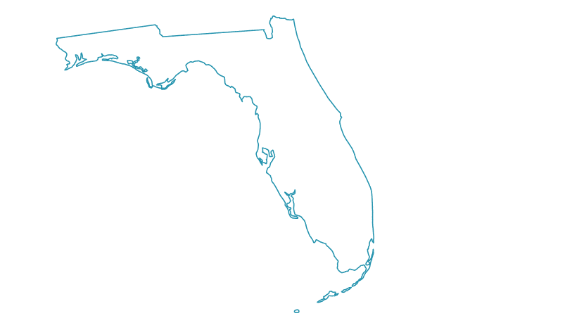
Detailed Florida Fishing Map
ISLA charts are the most accurate and complete inshore marine navigation and fish scouting tool ever created.
Whether you’re fishing unfamiliar challenging waters, exploring a remote area, cruising the coastline, or just looking for navigational help due to poor lighting conditions, ISLA charts allow you to navigate with confidence virtually anywhere.
No guessing, no questions, and no uncertainty puts you back at the helm. If you’re looking for the ideal Louisiana or Florida fishing map, we’ve got you (and your favorite fishing spot) covered.
ISLA charts run exclusively on Raymarine and NAVICO equipment (Simrad, B&G, and Lowrance). Garmin is Not supported as Garmin mandates the use of their own chart for all of their customers and totally precludes the use of any other charts by their policy. All other unit manufacturers are not supported at this time.

You don’t have to waste your time with another GPS fishing map. We corrected all of the pervasive and long-standing shortcomings in other GPS charts that inshore boaters find so frustrating.
- Dated, dark, and/or missing images that become fuzzy when zoomed
- Inaccurate navigational markers
- Missing chart features
Both our Louisiana and Florida maps show the precise locations of dangerous obstacles, including flats and bars, navigational posts, stakes, signs, local buoys, poll & troll zones, manatee zones, and idle zones. In addition, we added many thousands of miles of proven low tide tracks as an additional optional map layer so you can follow a track anywhere from virtually any location in any direction.
With ISLA’s GPS fishing map, you can explore without running aground or any lower unit damage. No other marine chart comes close to the accuracy or detail of ISLA charts. They are easy to load and compatible with most Navico chart plotters (including Simrad, Lowrance, and B&G units).
ISLA’s detailed tracks cover very shallow and remote inshore areas as well as primary deeper runs. These maps are compatible with most GPS for boats that draft 13″ or less at rest.


All Compatible Units
Simrad:
- Simrad NSO Series (All Sizes)
- Simrad NSS EVO 2 (All Sizes)
- Simrad NSS EVO 3 (All Sizes)
- Simrad EVO 3s (All Sizes)
- Simrad GO Series (All Sizes and all Model Versions)
Lowrance:
- Lowrance HDS Series Gen 1, 2, and 3 (All Sizes)
- Lowrance FS 7 and FS 9
- Lowrance HDS Carbon (All Sizes)
- Lowrance LIVE (All Sizes)
- Lowrance Elite Ti 1 and Ti 2 (All Sizes)
- Lowrance PRO (All Sizes)
B&G:
- B&G Zeus Series (All Sizes)
Note: If you have a unit older than approximately 10 years such as a Lowrance Gen 1 or Gen 2 unit a chip created with an older version of the programming software is likely required and you should call us to inquire and request one of those before ordering; chips created for the latest model units will likely have issues rendering chart vector features on the older units. Conversely, chips created for the older model units will not work well with the latest model units.

North and South Florida
(Entire State)
Areas Include: The entire state of Florida, including inland lakes, rivers, tributaries and coastal areas

North Florida
(North of Sarasota and Sebastian)
Areas Include: St. Johns River, Jacksonville, Palm Coast, Crystal River, Tampa, Merrit Island, Apalachicola, Pensacola

South Florida
(South of Sarasota and Sebastian)
Areas Include: Fort Myers, Siesta Key, Everglades, Lake Okeechobee, Miami, Marco Island, Florida Keys


What To Find On Our Maps


Precise Navigation Tracks
ISLA provides thousands of miles of precisely drawn detailed navigation tracks that were run at low tide, making our map perfect for flats, bay boats, and other shallow-water boats running in challenging areas. Other boaters in deeper drafting boats who can only run in bays, basins and primary marked channels also run ISLA tracks in those areas.
Map Accuracy
Our base Louisiana and Florida fishing maps have been corrected to provide the current exact location of navigation aids, including daymarkers, buoys, and signs. Other features that are missing on other maps—such as signs, posts, concrete abutments, PVC stakes and Everglades navigational aids—are included with near to-the-foot accuracy.
Hi-Res Imagery
ISLA charts offer the best imagery available on any GPS for boats platform. The native imagery has resolution ranging from 3 inches to 1 foot and we processed it to allow you to zoom in with clarity to as good as 50’ to 100’ with no loss in resolution.
The quality and clarity of our imagery is unsurpassed by any other GPS fishing map.

Recommended Machines and Mounting for Best Performance
ISLA charts run exclusively on Navico machines (Simrad, B&G and Lowrance). Unfortunately, Lowrance Hook and Simrad Cruise Units are NOT supported, as they do not have the capability to run any charts with Imagery.
We recommend the largest screen possible to get the best results. While the imagery is crystal clear on all supported units, you will get a much better results with a 12″ units over a 7″ one. When it comes to your satisfaction, screen resolution is key.
If you run a small boat and think 12″ is way too large, think again. We have seen hundreds of 12″ units running ISLA charts on small boats, including Gheenos and small side console rigs. The notion that 16-18′ boats are best suited to small screens is fallacy. In fact, once you run ISLA on a larger screen, you will never want a small screen again!
Larger screens not only have the best resolution, they are easier to see, provide the best situational awareness, and are easier to operate on the water. If you do not have a lot of room on your console for a larger unit, we recommend the use of a high quality adjustable mount such as Balzout or Cisco Fishing Systems. These mounts have small footprints and will allow you to float the unit over the console in a perfect position.
All sizes of Navico machines run our charts great, including GO units. However, we don’t recommend using Simrad GO units, as they are touchscreen only and the 7″ and 9″ GO units have inferior screen resolution.
Overall, GO units are not the best choice for any highly detailed chart used to run inshore. GO units are harder to use running in chop compared to any other machine with buttons/knobs and (in our opinion) offer zero practical advantage over any other compatible option. See the ISLA Recommended Units video posted in the Video Section for further details.
Due to the amount of information you get with an ISLA chart, our customers manipulate GPS for boats far more often than users running Navionics or Garmin maps. When a Florida fishing map doesn’t provide much information, people quickly learn that there isn’t much relevant for them to see. When GO owners run an ISLA chart, they often become frustrated with the continuous pinching and unpinching. GO units are less expensive for good reason. View Compatible Units.
With respect to mounting, we never recommend any flush mounts for skiffs. It can be acceptable on boats with larger consoles that have more vertical mounting area.
We recommend high quality adjustable mounts such as Balzout or Cisco Fishing Systems, as they provide the best functionality and adjustability, allowing you to float your unit exactly where it needs to be (as opposed to one static position or viewing angle).
Because ISLA charts include features that are missing on other charts, our customers find themselves zooming in and out about 10 times more than they do with standard reference charts. Therefore, the location and mounting of the unit is important. Consider your individual needs for ergonomics and accessibility.