

ISLA GPS Marine Charts

Raymarine
Why Use GPS Marine Charts?
Most of us rely on the GPS in our phones or cars to get around on land. These devices use satellite signals to not only tell you where you are, but give you the fastest possible route. The best versions even notify you of road closures, heavy traffic, or speed limits, so you have the most accurate, updated information available.
Wouldn’t it be nice to experience these features on the water as well? With ISLA’s GPS marine charts, you can.
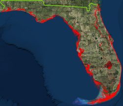
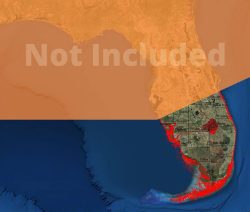
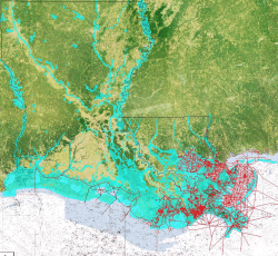
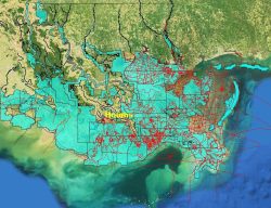
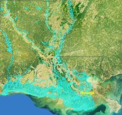
It took us years to create the most accurate and user-friendly mapping chip on the market. Whereas some marine charts provide the bare minimum of information (and much of it outdated), ISLA charts show you everything you need to navigate, explore, and fish in shallower waters.
Depth markers, navigational markers, and scrupulous detail mean you always know exactly where you are with to-the-foot levels of accuracy. No other mapping chip can come close to the resolution and accuracy of ISLA’s GPS marine charts!
Our GPS marine charts come as a Class 10 SDHC microchip for use in Navico marine chartplotters. This is the fastest class of SD card, allowing you to boot up your map lightning fast. You can zoom in to 50′ with no loss of resolution.