
21 Feb February 2023 Florida Marine Track Chip Update
IAN UPDATE
As noted in last month’s newsletter, chart updates that covered Ft. Myers from northern Charlotte Harbor to south Estero Bay began shipping on 1/30. We have processed dozens of chart updates just in the last couple of weeks. In the Ft. Myers area, there were nearly 2,000 edits which were mostly Markers, Buoys, and Obstacles/Debris. Missing markers we found were left on the map but were caveated as “missing”. Most if not all are likely to be replaced this year. For the most part, there were no Track changes, and despite some of the hysterical calls we have received, the oyster bars did not move and are now exactly where they were before IAN. As part of the update, many hundreds of sunk obstacles (not visible) were marked acquired by side scanning sonar. The obstacles included dumpsters, vehicles, trees, and a large variety of random debris. Some of this was “deeper” and may not be an obstacle to navigation, but because it was not totally clear in every case, all of the debris was marked with a Danger Symbol. Much of it is named what it actually is (if you click on it). We do not expect much of it will be removed, and it is now structure.
Additional Updates in February
Make sure to update your chart to get the latest versions. Chart changes completed this month include:
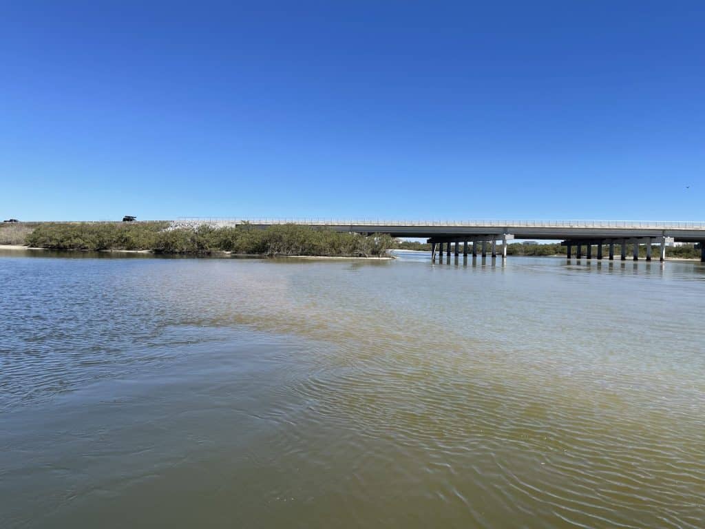
Matanzas Inlet south through the ICW for about 6 miles.
Matanzas Inlet south through the ICW for about 6 miles. Long Creek which is about 3 miles long, was added near Palm Coast. Most of Long Creek is added as a Black Track with only the first .03 miles as passable at low tide in a typical skiff.
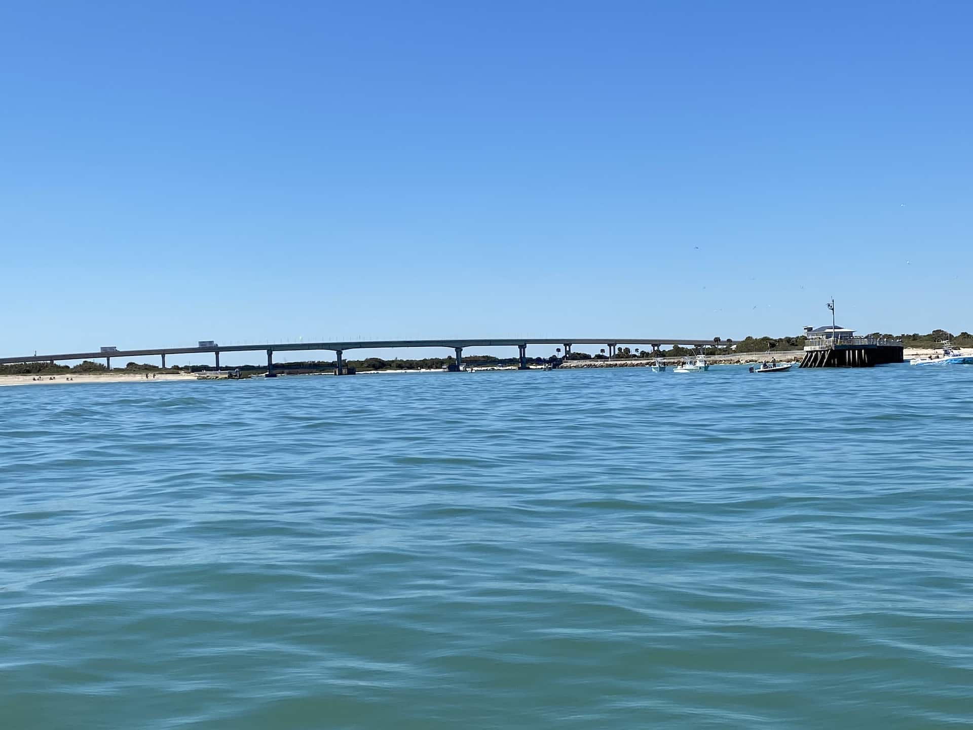
Matanzas Inlet had substantive moving sand on each side of the bridge with the large Bar on the inside having grown by a wide large margin. The tracks were shifted over and the bar outline redrawn. Depending on the date of your chart, the main Track run approaching the bridge is likely now actually on top of a bar. This area around the Matanzas bridge is changing a lot on a monthly basis and should not be run without good visibility to ensure you don’t beach yourself on a growing or shifting bar.
A couple of additional smaller creeks in the Pellicer Flats Area were also added plus a creek across from the Fort before the approach to Matanzas Bridge.
The A1A bridge across from Pellicer Creek has lots of shifting sand as well, and the bar from the bridge into the ICW has grown. The track was shifted over further to the West for a safe margin away from the bar. Much of the small Lagoon on the inside of the bridge may not be accessible on negative tides.
Mosquito Lagoon
A couple of obstacles in Mosquito Lagoon including a tree trunk near the ramp at Beacon 42 and a sunk sailboat near the ramp near Ponce Inlet.
Sebastian Inlet
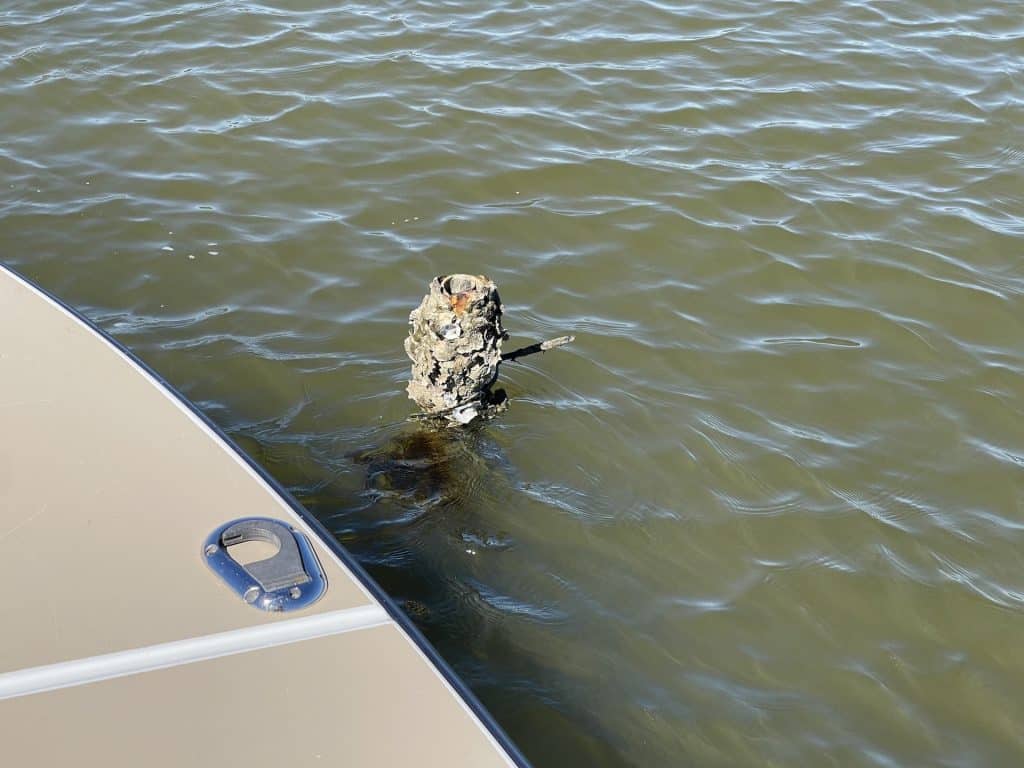
We ran the Sebastian Inlet Area north and south of the Inlet for about 60 miles, and there were several hundred edits at Sebastian mostly comprised of PVC stakes, posts, signs, and marker edits. The shellfish lease stake areas are extensive near the inlet and were marked. We marked all of the Stakes and also drew the major boundaries of the Lease Area. A few former wood posts have now become broken-off posts and dangerous obstacles.
Think Twice When Updating Your GPS Software
If you have received messages about unit software updates, but your unit is working fine and the update details do not provide any specific new function that you want, we do not recommend updating your unit. If it’s not broke, don’t fix it. Often updating will cause some issue or issues that you did not have before. I have not updated my software in 2 years, and the unit is working fine. If you did recently update your unit and it’s acting funny, consider downloading the previous software version from Navico and install the previous version. The new software adds a function to your menu called Genesis. It is related to recording sonar data. If you have no interest in this function, make sure it is OFF. If you select it to be ON the map will appear unusual in this mode. I am not sure exactly how this Genesis works, but it is not something you would likely want to use unless you are intent on recording Sonar Data. If you did not know, the way that works is you record your sonar data by just setting it to record while you slowly idle or run the areas you want to create depth contours for a custom chart. It would be like mowing the lawn with your boat to create this. The data are recorded to a separate chip, and then you upload it to Navico. They process it and email you a file back which will be your custom depth contours. Just be advised, they save this data and add it to others’ data doing the same thing. They compile it and then regurgitate this information via their own map. This is a way they grow their depth information for their CMAP chart. This is similar to the Garmin platform. The paradigm is not perfect as there are too many variables including tides, wind effects on tides, boat setups, and different boat drafts for the processing algorithm to accurately create depths for CMAP. It should not be relied upon in shallow areas. If you have updated your software, turn off Genesis in the Menu if you are not using it. The new menu option popped up after some customers did updates recently.
ISLA Photo Update
We continue to work on completing the adjustments for all new Images for all of Florida. We anticipate the South Florida Chart will be updated with the new images sometime this summer and the North Florida Chart will be released with the new images sometime this Fall. That is the plan we are working to resolve anyway and hoping we do not encounter technical difficulties along the way which are unfortunately common in what we do. The new images in South Florida will cover all of the FL Keys with slightly better coverage than the current chart with higher resolution photos now all the way out to the edges of the reef lines at the lighthouses encompassing the Patch Reefs. Most of the new updated photos are quite recent, taken within approximately the last year. In fact, the best images for Monroe County (FL Keys) along US1 is the most recent dataset. On this release, where the photos end past the lighthouses and off the entire coast of Florida, we will provide NOAA charts (the same as the paper NOAA charts) for the ocean areas covering the entire Gulf of Mexico and Atlantic as was done for Louisiana.
Many inquire about where we get our images. They are acquired from more than one source, and they are captured at different times for different locations because that is just the way it happens. We won’t divulge exactly where they come from, but I will say over the years just assembling all of the photos is a job in itself. Depending on the dataset, generally, about 1/3rd of Florida is flown every year, and those new images are available to us about 4 – 5 months after they are flown. Because we have Florida broken into halves, new images are released on the product about every 30 months. It takes us months to fix all of the images for color, brightness, contrast and then process them for display on the chart plotters once we get them. Aside from the tracks, the images are the hallmark of the product, so the extra time we take working with them is required. They don’t come out of the camera looking like what you see on your chart plotter. There really is no shortcut to creating FMT. Sometimes we wonder if spending all of the time we do dealing with it is really worth it. At the time the tedious work is going on, it often seems like it’s too much trouble. However, once it’s complete and comes to life on the boat, the work has always been confirmed to be worth the effort. Our growing customer base confirms that.
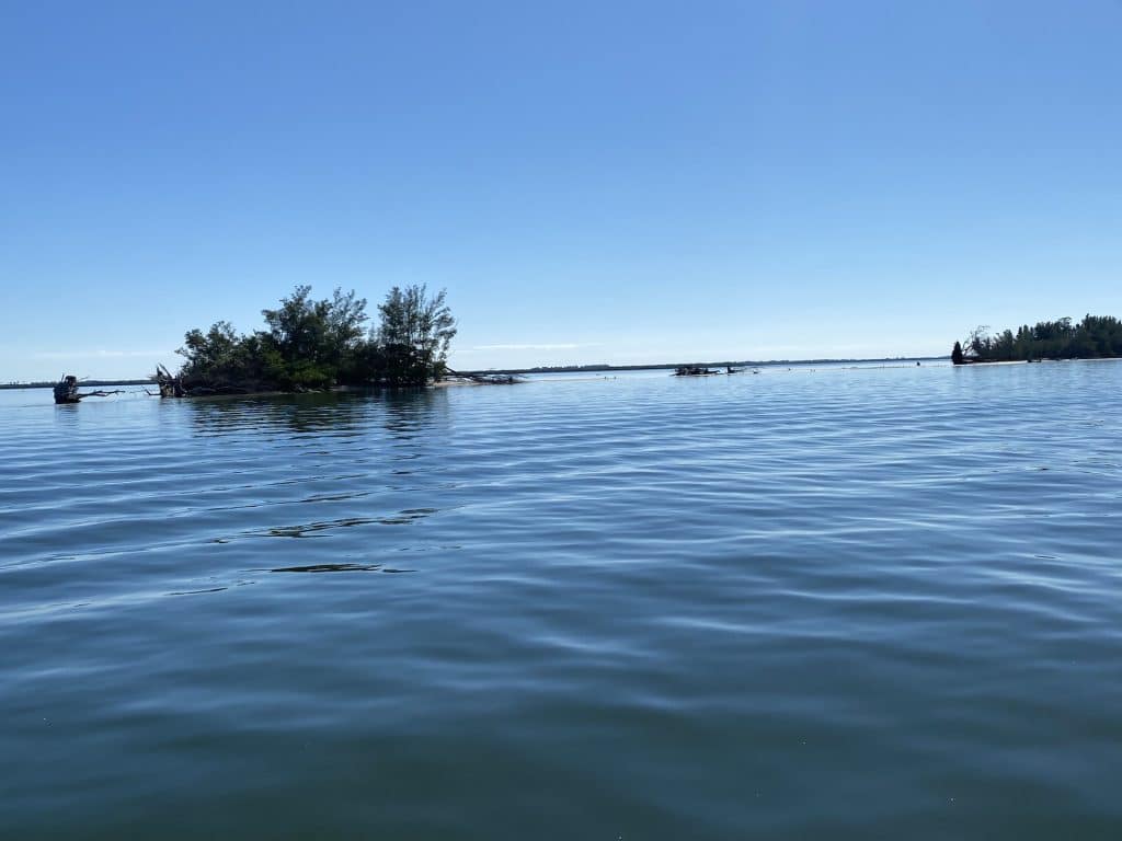
Chart Thefts and Losses
Please keep a close eye on your GPS and your chips. The number of thefts and losses of our charts increases each year with our customer base. We now get reports of this on a weekly basis. Electronics thefts are a growing problem for boat owners, and it seems to be particularly a problem in South Florida. Masked thieves break into facilities and cut units right out of boats in just a couple of minutes with power saws. This happens in boat yards, marinas, and even in secure “barns” with racks. Others will steal your chips right out of your unit at ramps if the boat is left unattended for even a minute. If you leave your boat anywhere with any electronics or gear on it outside of your immediate view, you are at increased risk of loss. This is one of the disadvantages of any flush-mounted permanently installed GPS. If you have a flush mount, at least take the chips out of it if you leave your boat outside of your immediate control. If your unit is not flush mounted, it is advised to remove the GPS from the Gimbal and secure it in a safe place when the boat is not in use and in your immediate control (including when you are trailering). Units can be removed from the Gimbal in seconds at a gas station or at any stop. If your charts get stolen or lost, we do not partially or fully insure those losses. The chips are easy to misplace, and they also get lost on a regular basis when being moved to different units and for a host of other reported reasons. We have heard everything from the chips being vacuumed, to blown-off consoles, to dropped in the bilge to left at the boat mechanic’s garage where it went missing. About half of the reported lost chips do end up eventually being found in all kinds of places including the dryer, the car floor, and inside clothes or tackle boxes.
Trailering an Open Rig With a Gimbal Mounted GPS Is Not A Good Idea
Trailering with the GPS on the boat in any wet weather is like putting the GPS outside in a hurricane. Trailering with a GPS on any open boat will drive water into the chip readers, causing the reader and/or the chips to fail. Please do not put your GPS or Charts at increased risk. The units are highly water resistant but not designed to stand up to water being blasted at the screen or chip readers for any length of time.
Garmin Owners on the Move
People call us and write us daily to inquire if ISLA charts run on Garmin units. To be clear, ISLA is NOT running on the Garmin platform, and that is unlikely to change for the foreseeable future as Garmin continues to double down annually on the mandated one-chart option for those that run their platform. To date, ISLA has converted more than 5,000 boaters away from Garmin who say they prefer to use ISLA charts vs. Navionics for most of their boating activity. When other third-party mapping companies are factored in, the number of boaters who have left the Garmin platform is conservatively estimated at more than 10,000 just in the last few years. The number of weekly conversions at ISLA this year vs. 24 and 36 months ago is higher and accelerating. We are on track to convert an additional 3,000 Garmin users within the next 36 months. That will be the better part of 10,000 total converts just for ISLA charts. It is not because these boaters dislike their Garmin chart plotter. On the contrary; most say they like their Garmin GPS just fine. The reason they leave the Garmin platform and take the pain to replace the Garmin equipment is solely due to the charts that Garmin mandates their customers use which the owners say fail them inshore. If you are unhappy with the Garmin policy please do not call us to complain about it. It is an issue to take up with them as we have no control over it and we cannot provide any insight into their business paradigm or logic. If you are one of those former Garmin users you fully appreciate why ISLA was created in the first place. The failure of Garmin’s charts and Navionics on our boat years ago and their unwillingness to even acknowledge any issue at all when challenged with a list of dozens of shortcomings was the latent reason ISLA was created nearly a decade ago. For those that have a lot of Garmin equipment installed as part of a larger networked system and want a workaround to increase chart options, there is a way to get other charts including ISLA charts to display on your Garmin displays. You would need to buy another “unit” that is actually a Simrad NSO box that plugs that allows you to tap into the HDMI on the Garmin. Then the Garmin can display more charts that are plugged into the box. It is only economically feasible for larger boats with lots of permanently installed equipment as the box is actually a Simrad NSO unit without a screen. For a standalone unit situated on a smaller boat, going that route is not a financially feasible option. Replacing the Garmin with a compatible Navico GPS and selling the Garmin costs less and that is what virtually all of ISLA’s converts do.
Raymarine Announcement
ISLA is beginning an effort to support Raymarine displays later this year. When the new images we are working on now are run for the imagery updates mentioned above, we will begin to run the data through Raymarine’s mapping software at approximately the same time to create charts for Raymarine. The Raymarine Software is all new to ISLA, so we need to learn it and test it. We will do our best to get it up and running quickly at approximately the same time as the Navico new Image updates are released. The Raymarine compatible charts will be released in the same order as the Navico updates are released with the South Florida chart being made available first and subsequently North Florida. Charts for Louisiana will be made available last at approximately the same time as the next LA update for Navico which is not planned until 2024. We have no exact dates. We are hoping to get all of Florida up and running on it before the end of this year.
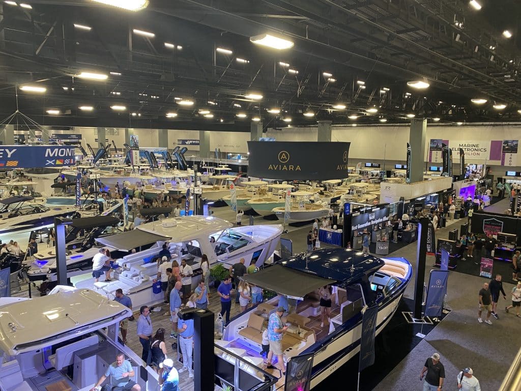
Miami Boat Show
ISLA did not exhibit in Miami this year, but we were there for a couple of days incognito. Some customers contacted us and chose to update their charts in person at the show, and we ran into many others who run ISLA charts or want to. I don’t know what the attendance was, but there is no question that there are too many people and too many cars in Miami. I guess the same could be said for most of Florida now, for that matter, but Miami/Dade/Broward will definitely challenge your patience driving or walking.