17 Jan Garmin vs Simrad: A Buyer’s Guide
Which marine chartplotter is right for you?
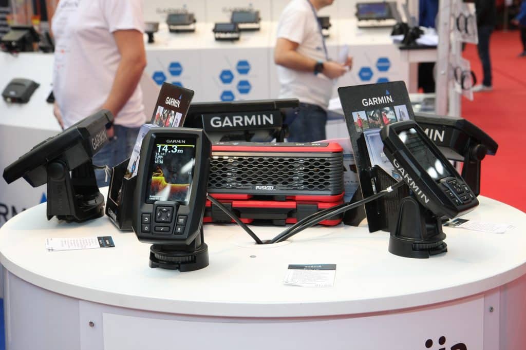
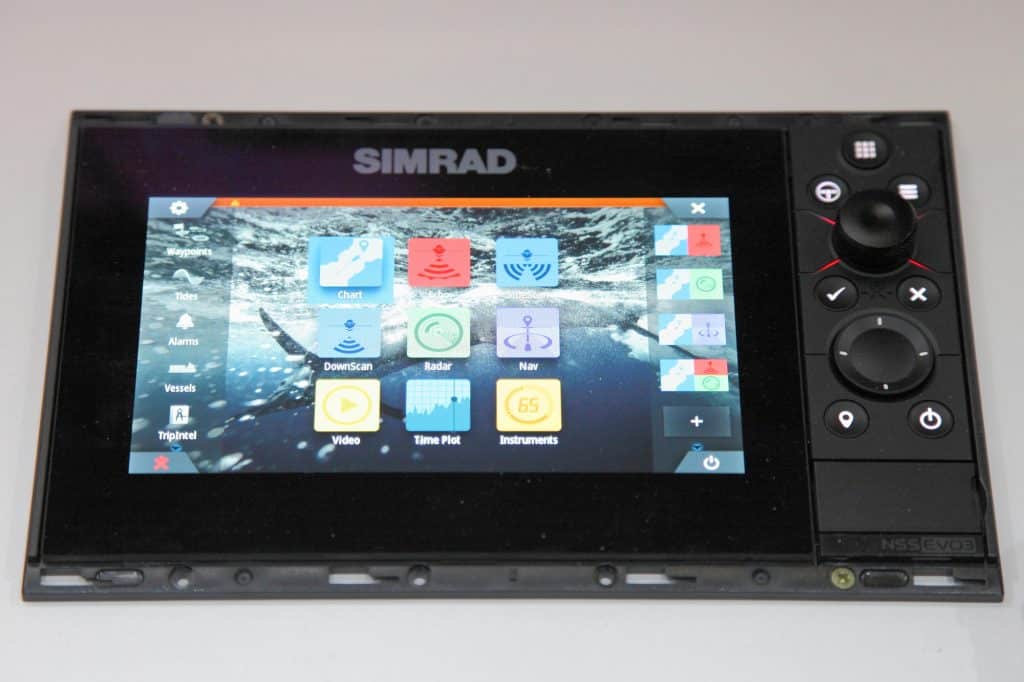
Let’s compare and contrast Garmin vs Simrad to see who the winner is.
Wherever you plan on boating, a good marine GPS is crucial to getting around challenging, unfamiliar waters (without running aground).
But no sooner than you make the decision to get a GPS, you’re forced to make another: Which GPS should you get?
There are dozens of brand names and model numbers on the market, each with their own pros and cons. In this article, we’ll focus on two of the most popular brands: Garmin vs. Simrad, Lowrance, B&G, and other units manufactured by Navico.
Throughout this article, we’ll refer to the collective Navico brand by the name “Simrad,” as it’s familiar to most boaters.
We’ll also focus on units with display sizes between 9-12” within a price range of $1,000-4,000 but the points made here also apply to the highest end equipment they support.
Garmin vs. Simrad: Which Is Best?
Both Garmin and Navico are well-known brands with a long history of high-quality GPS devices. Both offer marine chartplotters that read maps with a high degree of accuracy and their product ranges come in a wide variety of screen sizes and price points.
As is the case with many products, both brands have their fans as well.
But when you dig into the real specifications of the equipment—past the rhetoric, puffed up advertising, and rave customer reviews—there is really only one difference that might sway you from choosing one over the other.
However, in order to say that we did our research, let’s dig into each of the features more closely.
Screen Resolution
As with most electronic devices, screen resolution is an important factor when buying a marine GPS unit.
At each price point, the two brands offer comparable screen resolution. Lower price models all start at around 384,000 pixels, while higher priced models have resolutions as high as 1,024,000 pixels. The larger displays (16” and more) provide more than 2,000,000 pixels of resolution.
Higher resolution displays allow a boater to see more around their position at the same zoom level as lower resolution displays providing superior situational awareness.
They are also capable of rendering more fine details but only if the loaded charts provide sufficient resolution. Even at 2 million pixels, a low resolution chart is going to appear grainy.
Navigation
Again, the radar and sonar capabilities between Garmin vs Simrad are close to a tie, but we think Simrad has the slight edge (especially regarding clarity and bird separation). Customers say Garmin requires a lot more finessing and fine-tuning to get an experience similar to Simrad.
Another area where customers seem to prefer Simrad is autopilot. Over time, many report Garmin compasses failing and sending boaters slightly off course. Simrad units tend to last longer while retaining accuracy.
Ease-Of-Use
Garmin tends to come out on top among customers simply due to their brand recognition. (Remember the 2007 Super Bowl commercial?) As a result, people tend to stick with whatever brand they’ve used in the past, believing it to be the superior one.
However, we think the Garmin vs Simrad debate becomes a wash once users are familiar with the software.
If you’ve ever switched from iPhone to Android (or vice versa), you already know that new technology becomes intuitive the more familiar you are with it.
Accuracy
Most brands will not tell you this, but there is no difference in the accuracy of any of the manufacturer’s units themselves.
Once the Department of Defense made accurate GPS data available to civilians, all GPS manufacturers were on a level playing field. As a result, both manufacturers’ units are highly accurate as is the performance speed at each price point.
All of the units by Garmin and Navico will show the boat position at the same coordinates within a few feet. However, accuracy depends highly on the chart you’re using, rather than the GPS itself.
Any marine GPS chartplotter is only as good as the chart it’s using.
Charts
This brings us to the biggest distinction between Garmin vs Simrad: mapping.
Both units come with preloaded mapping software unique to the brand. After Garmin acquired Navionics in 2017, all Garmin units now come equipped with Navionics charts. Simrad units come with C-MAP as well as a very elementary version of Navionics chart.
Unfortunately, neither C-MAP nor Navionics can claim to be the most accurate chart on the market. Both are generally lower resolution charts and fall short of the standards most boaters want for their experience on the water.
So does this mean you shouldn’t choose either option? Fortunately, no.
Simrad, Lowrance, B&G, and other Navico models allow you to use third-party software. Garmin, on the other hand, does not.
Garmin units have a slot for mapping chips, but the primary purpose is for saving your own data to layer over the Navionics map. In most cases, boaters who prefer Garmin maps do so because they have compiled so much of their own data. As a result, it isn’t Garmin’s navigation they prefer, but their own.
Garmin vs Simrad: The Winner
In terms of screen resolution, accuracy, and other features, both Garmin and Simrad (i.e. Navico) units get the job done. The only real determining factor when buying any marine GPS unit is your choice of map.
Because Garmin units do not support third-party mapping, Navico units come out on top in the “Garmin vs Simrad” debate.
We recommend selecting the map or chart you plan to use first, then picking a GPS unit that will support it.
And if you’re boating around the Florida or Louisiana coastline, there’s no better map than Florida Marine Tracks or Louisiana Marine Tracks.
Developed specifically to address the shortcomings of preloaded marine maps, these charts offer to-the-foot accuracy for offshore and inshore navigation. You’ll be able to navigate waterways you never thought possible.


